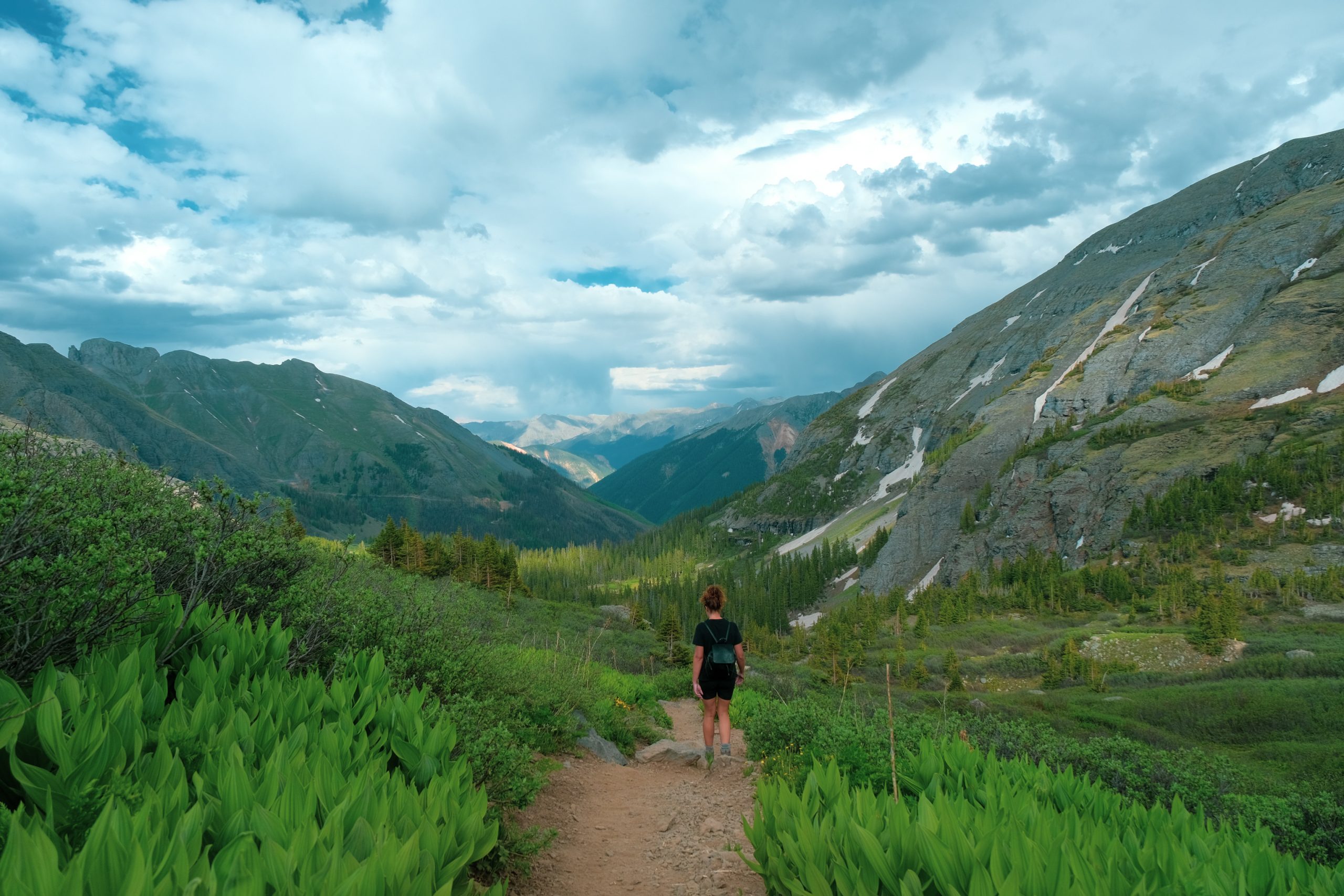
On our wild camping spot in Silverton, Colorado we enjoyed the beautiful nature and the babbling river right next to our camper for no less than 5 days. We had good (internet) reach here, so we could also work nicely on our website. Having a coffee here every morning while the sun is rising was really no punishment! But because we sit still a lot during our writing work, we also thought it was time to stretch our legs. We saw on Google Maps and Alltrails that there was a beautiful hike nearby that we could do. The Ice Lake Trail!
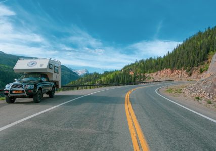
This article is part of a large one-year tour the United States en Canada, with a Dutch 4×4 camper that we shipped ourselves… It is a bucket list worthy and an once in a lifetime experience that will never be forgotten.
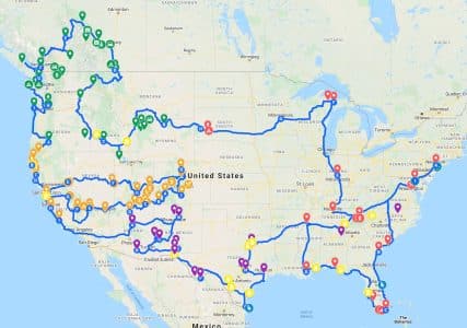
We wrote almost 100 articles about this ultimate tour. Visit our North America page for more information.
Find hikes in the region
AllTrails tells you which routes can be found in your area, how difficult a route is and how long it takes on average. Other people also share photos and reviews. Ice Lakes Trail is the most popular hike in the area and what a one!
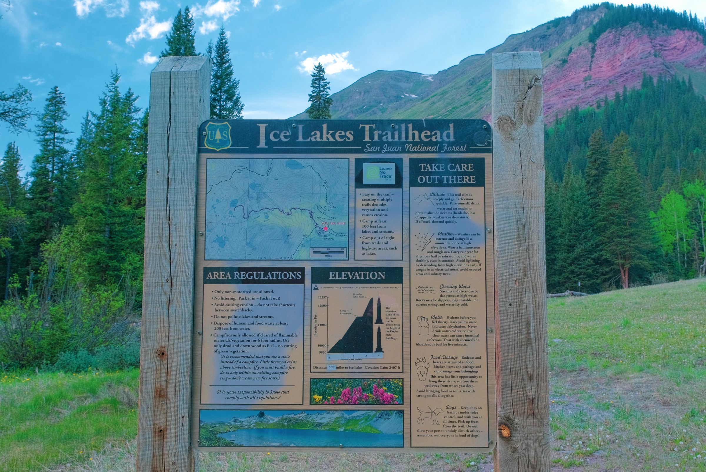
About Ice Lakes Trailhead
You will ascend 900 meters during the walk, almost twice the height of the Empire State Building. During the walk the climb becomes more and more challenging. You start at an altitude of almost 3 kilometers and at the most you reach almost 4 kilometers.
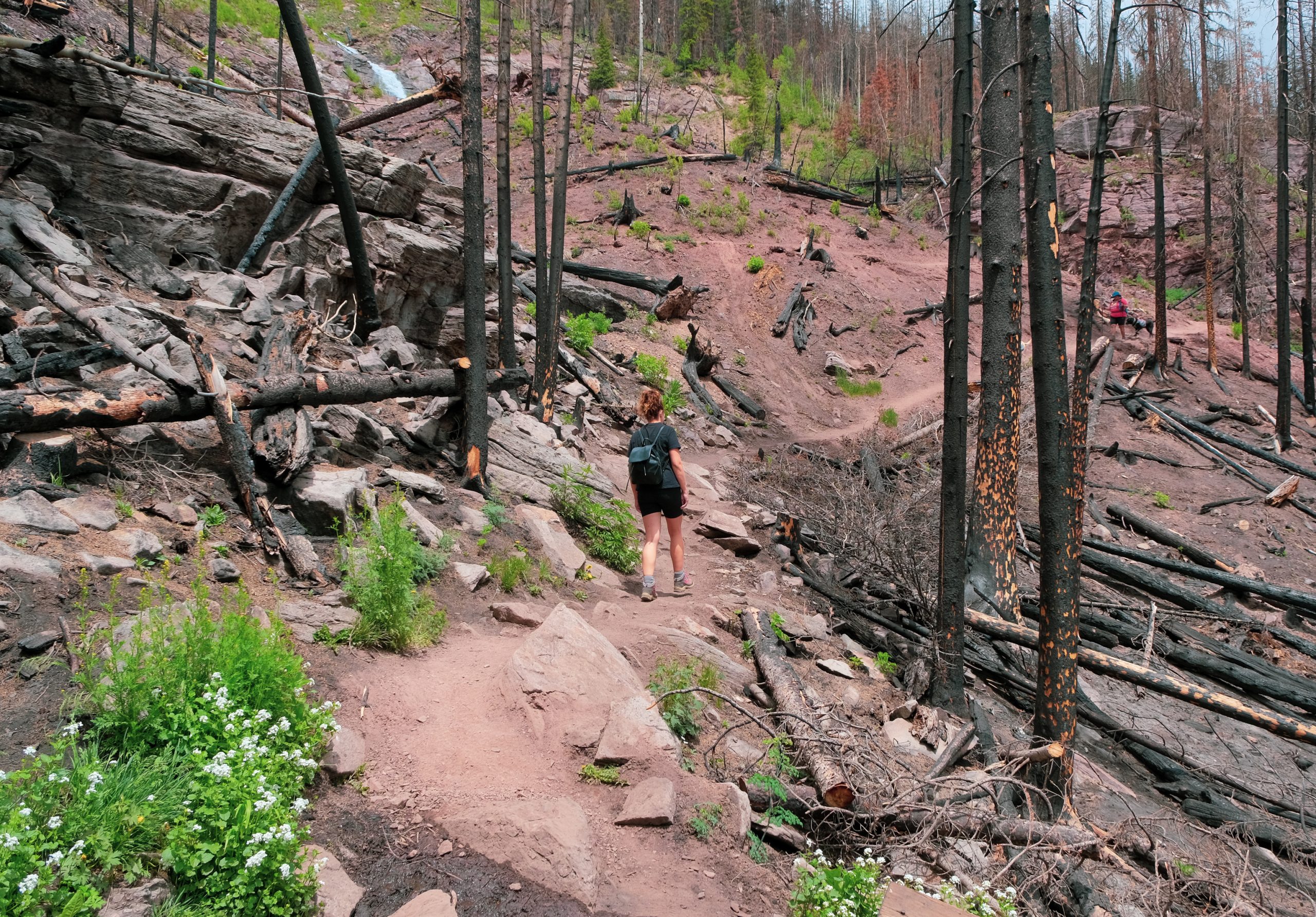
The burnt forest
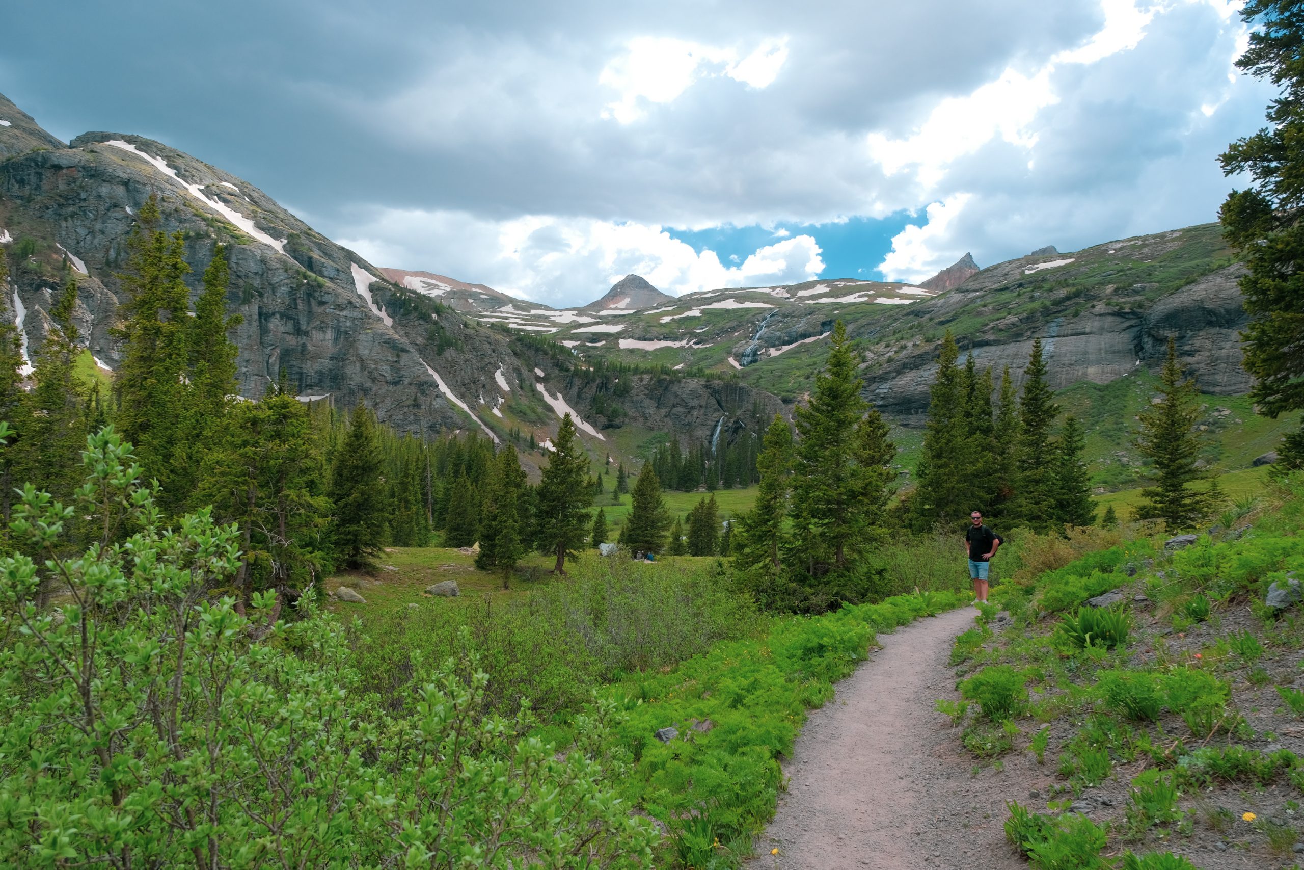
During the walk, you will always pass through different areas. We started in the forest, which turned into burnt forest. In 2021 there were severe wildfires here and as far as the eye could see there were burnt mountain slopes. It was honestly a depressing sight.
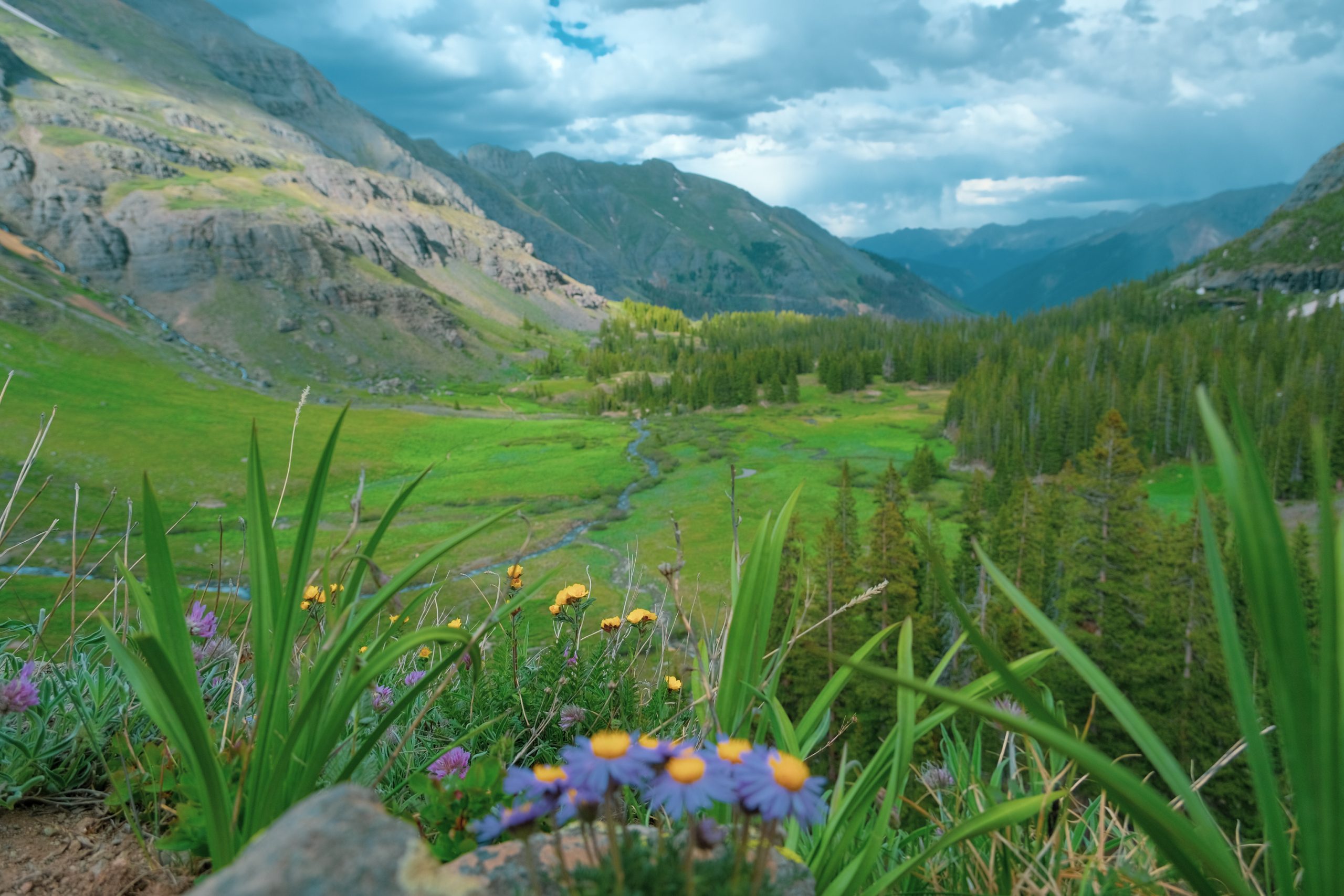
Green meadows and flowers
We also passed rocks, waterfalls, streams and colorful flowers and plants. The green meadows and the many flowers were a nice change after all those banished trees a few hundred meters below.
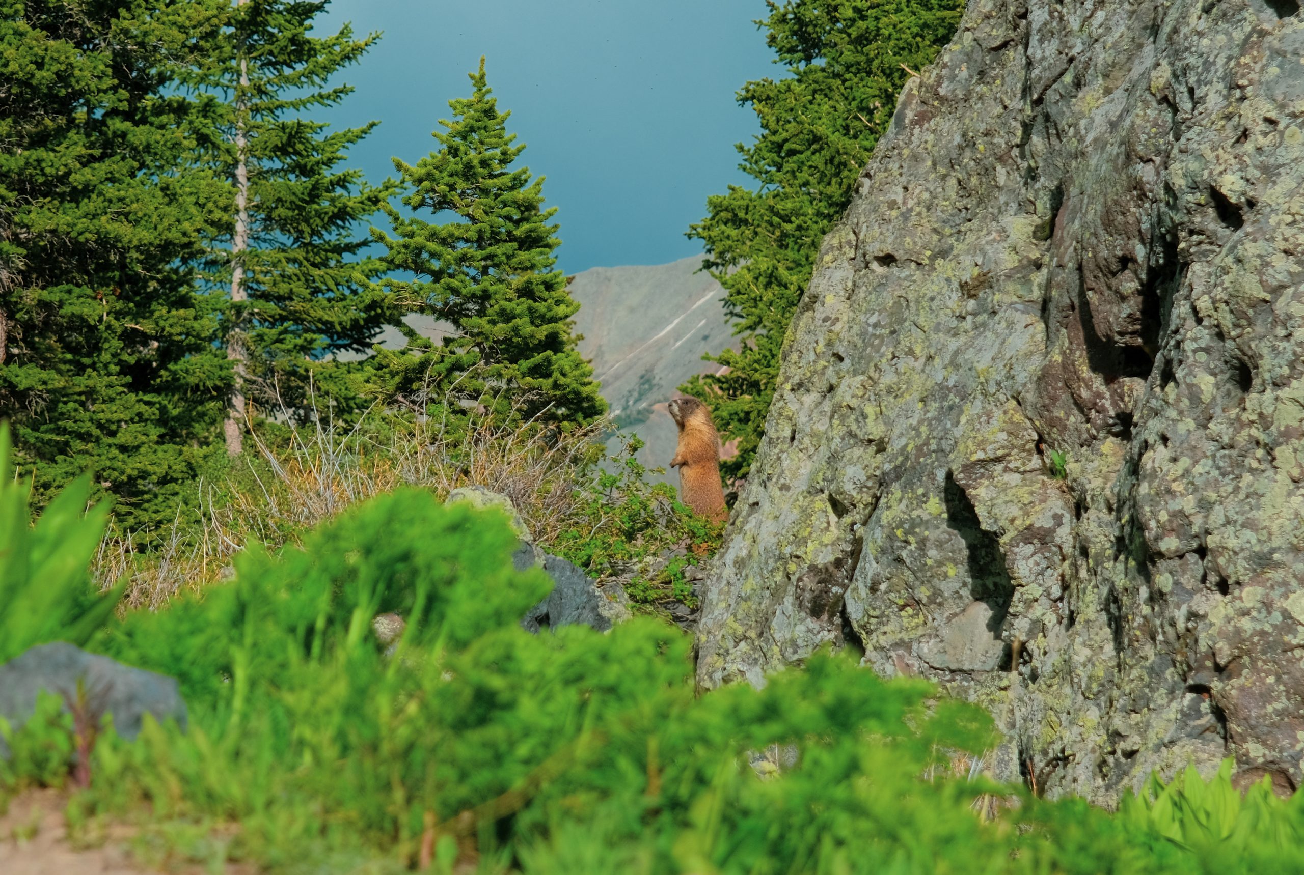
The Marmots
The marmots were busy too. They were chasing each other to chase each other (or mating?), or stood up to make their familiar high-pitched call. A bizarre sound comes from these critters. It gave the long walk a nice perk to look at.
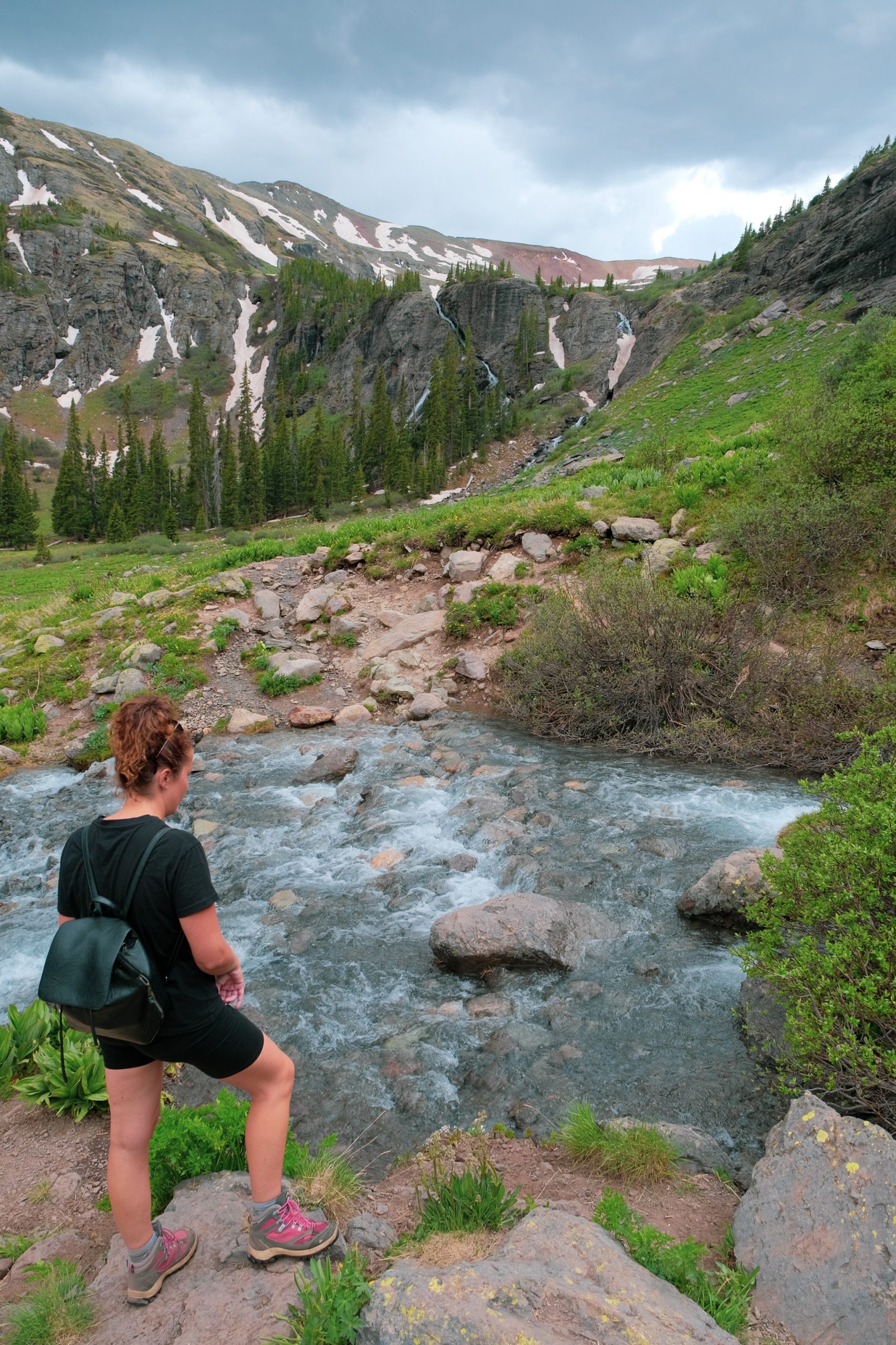
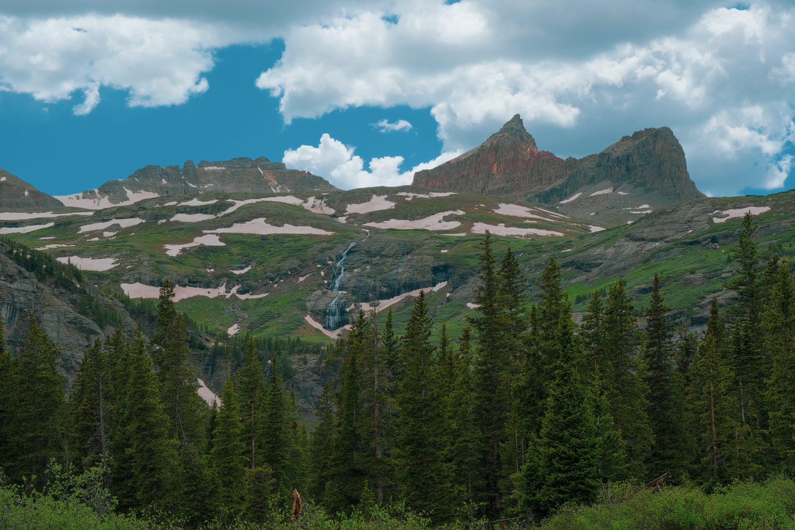
Waterfalls & Rivers
As far as you could see waterfalls could be admired, from large to small. Along the way we also had to cross a small river a few times. One of them was quite a big one and we couldn't avoid getting wet feet. We had to get through the icy melt water!
So we had to walk the last part with wet feet. But now our feet were so hot that a little cooling was actually quite nice. The cooling was short-lived, because we had warm feet again in no time due to the brisk walking.
We spent a lot of time looking down at the uneven ground and the loose rocks along the way, but every time you turned your head up a little and looked around you, your jaw dropped in amazement. What a beautiful environment. And those waterfalls everywhere!
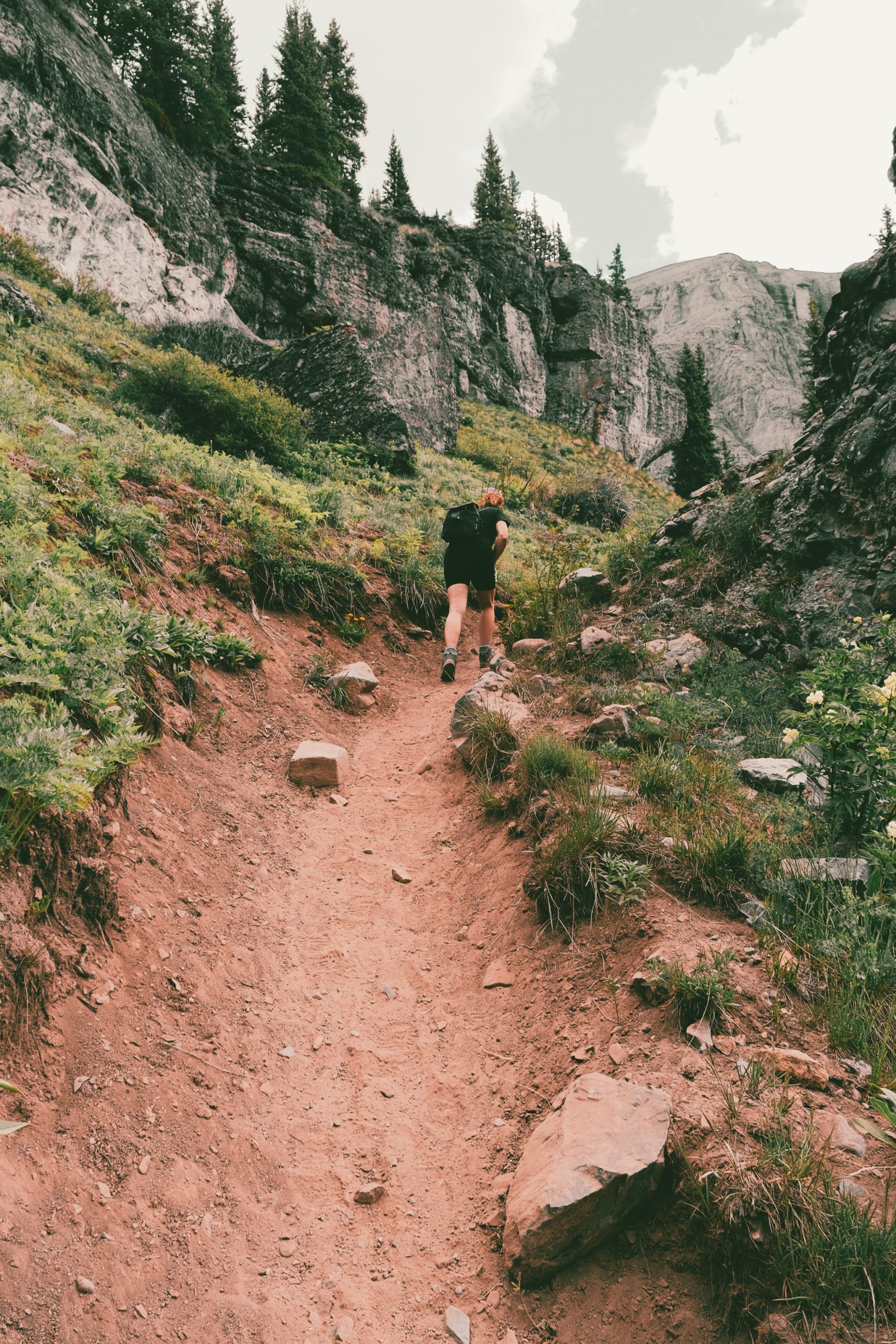
Climb, climb, climb
After more than 4 hours of walking you arrive at the last part and this part is definitely tough! The slope is suddenly very steep and as you walk over loose sand and stones, you really start to notice the lack of oxygen at this altitude. Small bits up, take a short break and continue on.
That last part took us about an hour, which is perhaps only 500 meters in total… Fortunately, the end was in sight. The trail flattened out and we arrived at the plateau of the mountain. It's as if nature wanted to welcome us, because suddenly the sun came out again!
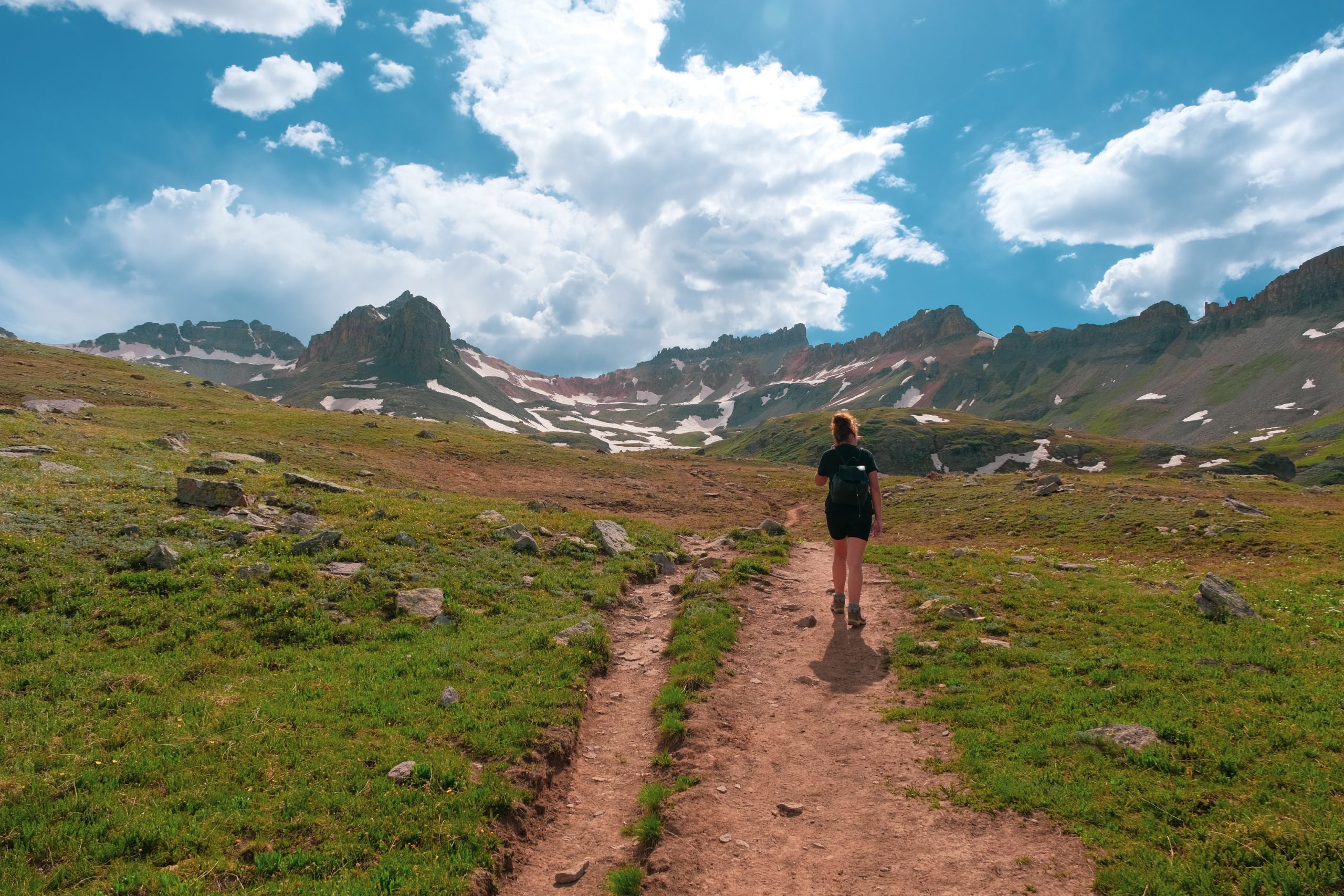
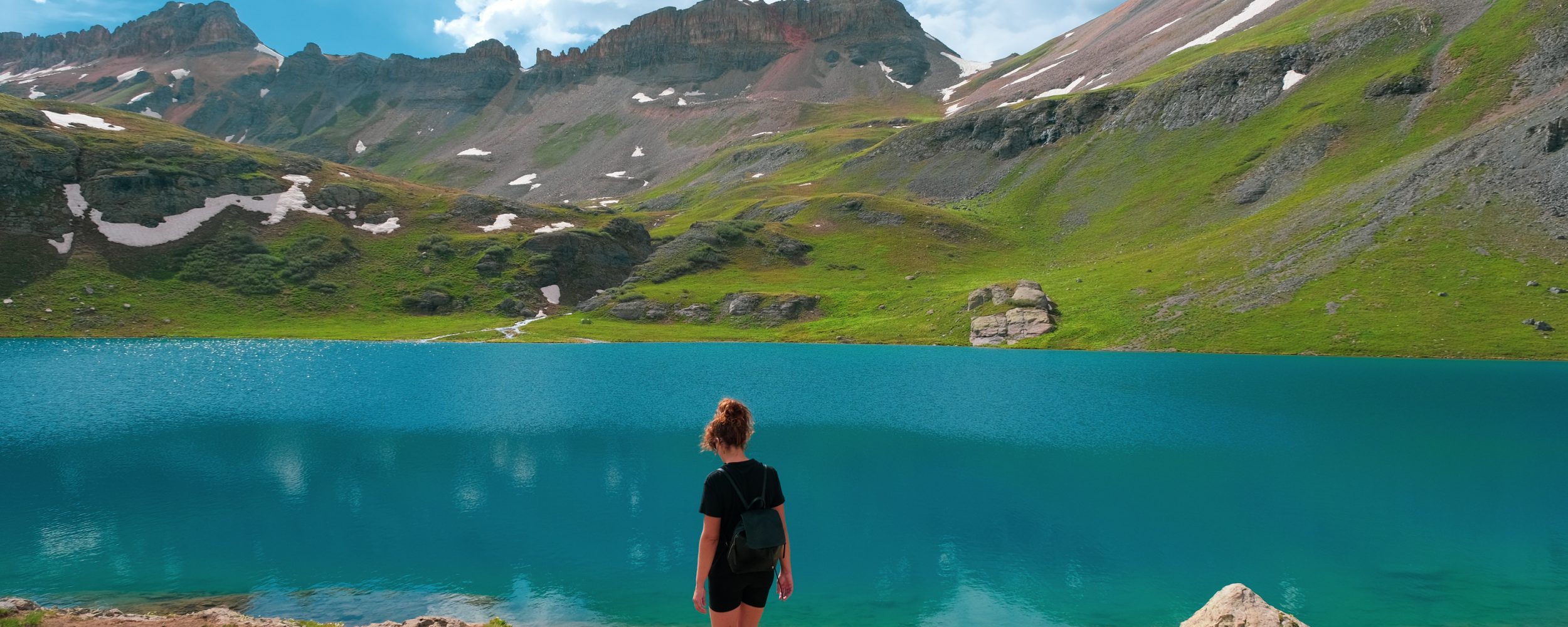
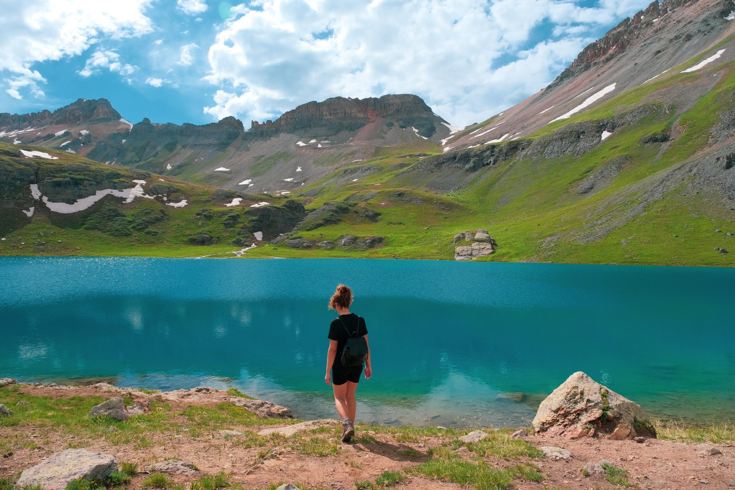
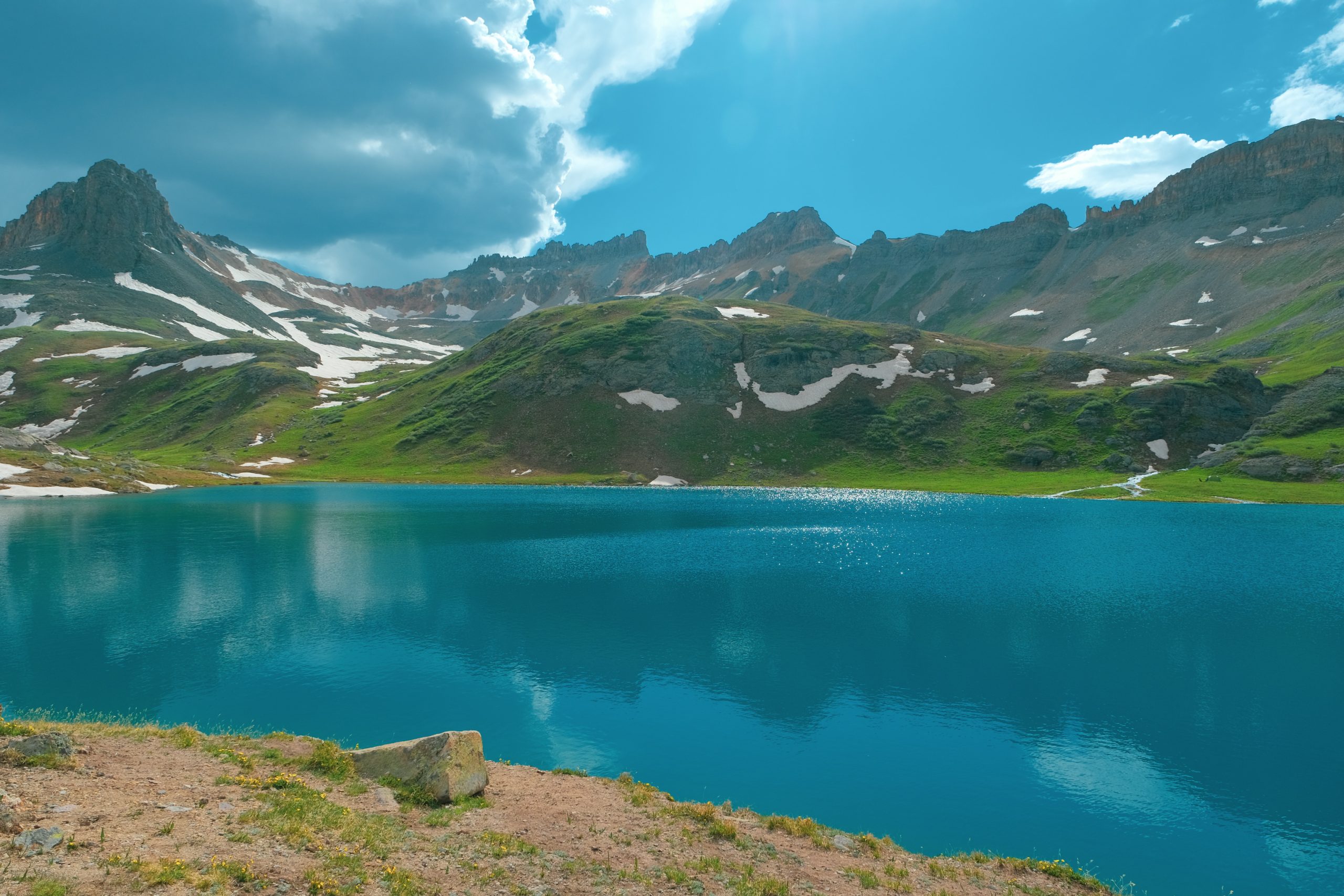
Ice Lakes finally in sight
After a few hundred meters it was finally time. As icing on the cake, we of course arrived at the clear blue ice lake! The lake was such a bizarre color, as if someone had thrown a truckload of food coloring into it.
Tip:: Curious what we shoot with? Then view the display below.

The Fujifilm X-T5 with 16-80 is the ultimate all-round world travel camera† This camera has been declared several times by both the consumer association and Tweakers.net the best system camera you can buy. Even on automatic mode, you suddenly feel like a professional photographer!
- The best tested camera
- Fantastic photos
- 6.2K video
- 5 year warranty
A man braved the icy water and took a refreshing dip in the lake. Malou and I stuck to paddling, because after 10 seconds your feet started to sting. This water is so very cold! That is not surprising, because a week or two ago this lake was still completely frozen. It's called 'Ice Lakes' for a reason.
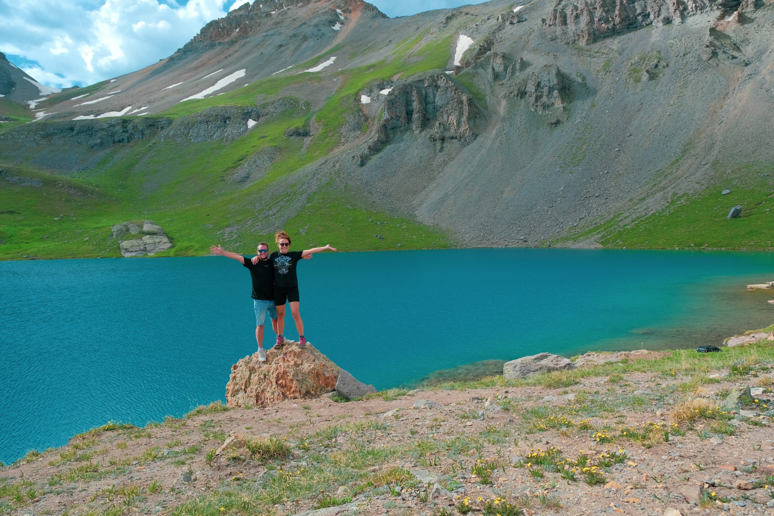
After chatting with other hikers, it was time for the last photo before heading back down.
More unique hikes and trails
- Pacific Crest Trail (PCT) | United States
- Salkantay Trail (Machu Picchu) | Peru
- Peaks of the Balkans Trail | Albania and Montenegro
- The Great Divide Trail | Canada
- Plain of the Six Glaciers Trail | Canada
- Ice Lake Trail | Canada
- The Grand Canyon Trail | United States
- Acatenango Trail | Guatemala
- Roy's Peak Trail | New Zealand
- Olpererhütte – Schlegeis Stausee Trail | Austria
- Dolomites Trails | Italy
- Cinque Terre Hike | Italy
- The 8 most beautiful hikes in the world | Worldwide
Our experience
Although we knew we were going to climb, we had misjudged the difficulty and effort. We read 4,3 miles, didn't really bother to calculate correctly and thought LET´S GO. We had just finished our lunch and we thought we could manage with just some water.
5,5 hours (!) later we were at the ice-lake and we drank our last drops of water. So we still had to start on the way back…
Misjudged
If we had taken the trouble to calculate correctly, we would certainly have brought more water and food! 4,3 miles was only the way there. So total it would be 4,3 x2 = 8,6 miles. If we convert this to kilometres, that is 14 kilometres!
A walk of 14 km on a flat road would be quite a walk, let alone into the height. We went from 3000 meters to 4000 meters and it was definitely noticeable.
Altitude sickness
During the way back Malou was not able to enjoy the area anymore. She was hungry, had a headache and was nauseous. It was probably a combination of dehydration, altitude sickness and of course not eating enough. On the way down we luckily met some hikers who wanted to share some water with us.
We then continued on and after 2,5 hours, when we were back at our camper, we could finally eat and drink. By that time, Malou was really exhausted. So much so that even eating was no longer possible. She spit up, then ate some carrots, drank some water and went to bed. Her body clearly needed rest.
Tips
So now that we have experienced how it is did not If I have to, I give you the following tips for a hike like this:
- Draw good and sturdy walking shoes On. Sneakers are okay, but they don't always give you enough grip and you're more likely to sprain your ankle. Then you are supposedly even further away from home…
- take enough water en food along. You really need two liters to continue to replenish your fluid deficiency. Although you don't realize it, you use a lot of moisture in the height. Consider getting one lifestraw so that you can filter river water on site for drinking.
- Trek layers of clothing at. It may be sunny and warm at the time of departure, but the weather can change quickly in the mountains. You need to be able to defend against wind and rain to keep yourself warm so that your energy is not wasted suffering from the cold.
- Take it easy. You start at an altitude of three kilometers, which is already high enough to experience altitude sickness. Effort at this height will therefore really make you feel double. Altitude sickness is therefore really something you have to take into account.
Also read: Pacific Crest Trail | Preparation, tips and packing list for long treks
Conclusion
Although Malou had an unpleasant experience at the end, this trail was really fantastic to walk. Normally we would have been better prepared for a distance like this and could have covered it without any problems. It just goes to show that you should never underestimate nature. We 'just' felt like walking and therefore didn't pay attention. We therefore misjudged the trail.
However, don't let that stop you from putting this trail on your map. The starting point is here, so save it on your Google Maps. It is a trail with so much natural beauty! The entire trail is a Valhalla for nature lovers. It is therefore really a must-do when you are in Colorado.
Plan your vacation to America here
- Camper rental You can book this in combination with a tour Travelhome.
- Tours and Fly & drives compare to TUI, Americaplus, sawadee en Djoser.
- Flight tickets for America you book with TUI, KLM en Skyscanner.
- Rental cars : Sunnycars, Alamo en rental cars.
- Tours and Activities in America you book via GetYourGuide.
- Campsites in National Parks you book on RECREATION.gov.
- Travel insurance for America you will find at Allianz.
- Hotels & Resorts in America you can book with a discount Booking.com.
- SIM cards : USAsim en International sim.
- Parking at the airport you can arrange via Parkos, park care of iParking.
- travel items (suitcases, bags, world plugs, etc. can be ordered at Bol.com.