Do you want too worldly become? Have you always wondered what the largest island in the world is? You may be surprised, but you're going to find out soon and no, it's not Australië. Finding the largest islands in the world is not as easy as it may sound. First, it's not super clear what exactly an island is as opposed to one continent† Australia is classified as a continent… But which is the largest island? Read on to find out what 25 largest islands in the world are!
Also read: World wise: The safest and most dangerous countries in Europe
Our list of the largest islands in the world is based on total land area. From Britain to Papua New Guinea and everything in between. There are probably some islands you've never heard of before, so let's check it out!
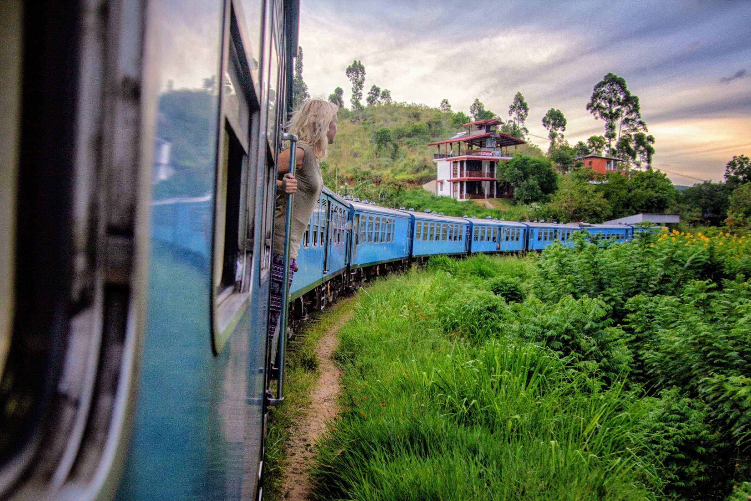
25. Sri Lanka – 65.268 km2
Sri Lanka, formerly known as Ceylon, is a peaceful island in the Indian Ocean. This tropical tea-making island is loved for many things. Its sheer size favors everything from excellent yet rugged ocean beaches to rolling tea plantations and everything in between. Outside of the annual rainy season, Sri Lanka is perfect for travelers, with opportunities for hiking, rock climbing and surfing.
Also read: Itinerary Sri Lanka in 2, 3 or 4 weeks | All must-sees and travel tips
24. Banks Island – 70.028 km2
Banks Island is found in the Northwest Territories of the Canadian Arctic Archipelago. Being 24th in area isn't the only claim to fame, though; it is also the fifth largest island of Canada† Located northwest of Victoria Island, it is separated from the mainland by the Gulf of Amundsen. About 400 kilometers long and over 160 kilometers wide, Banks Island has a unique ecology and interestingly, it is an island that has no trees.
23. Sakhalin – 72.493 km2
Sakhalin Island, also known as Sakhalin Island, is the largest island of Russia† It stretches for more than 1.000 kilometers in a long, narrow swath that appears to be in the shape of a standing woman.
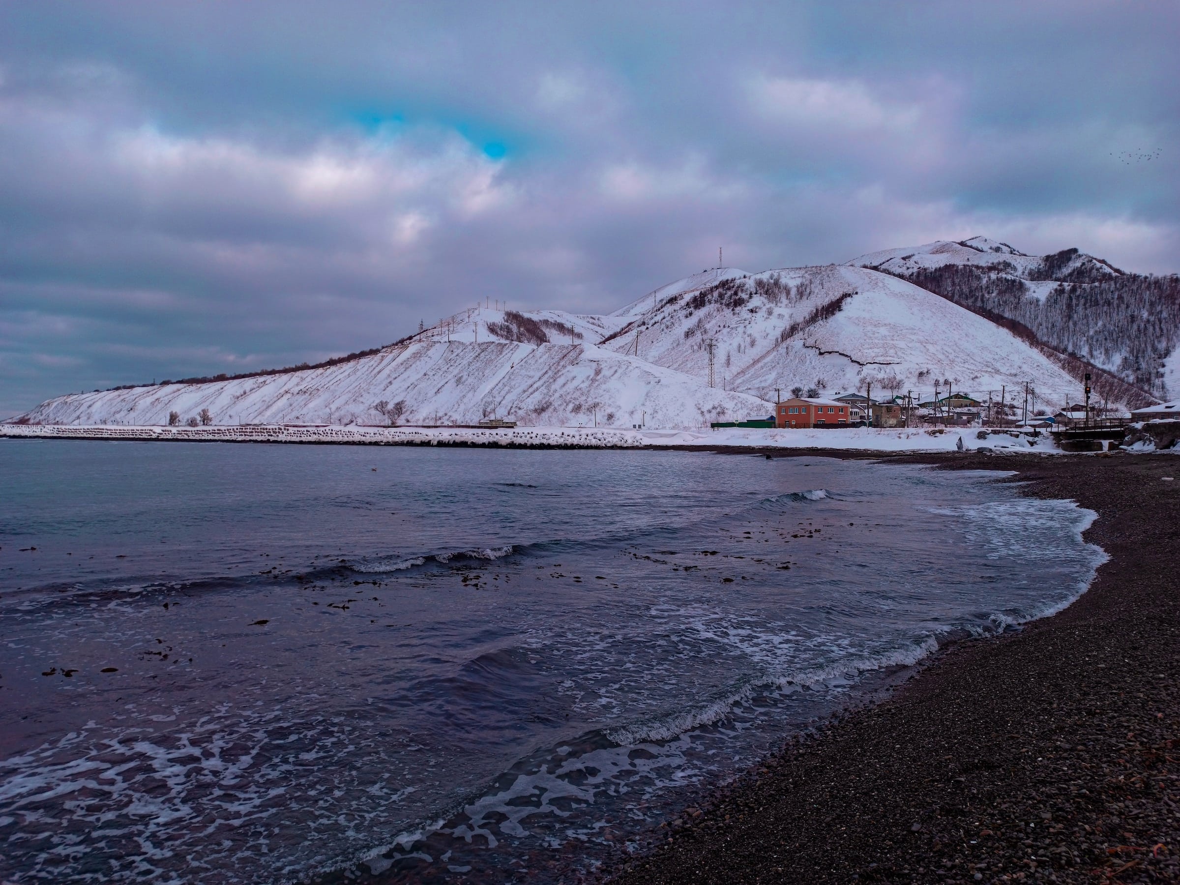
To get an idea of its size, it's about a fifth the size of Japan and was actually owned by Japan at one point. However, in the 1870s, Japan relinquished control of the island to Russia in exchange for the southern Kuril Islands. Today, about half a million people live on Sakhalin Island.
22. Hispaniola – 73.929 km2
One of the very first European colonies of the New World descended on the island of Hispaniola in the 14th century. It is also one of the most populous islands of America – and even of the world.
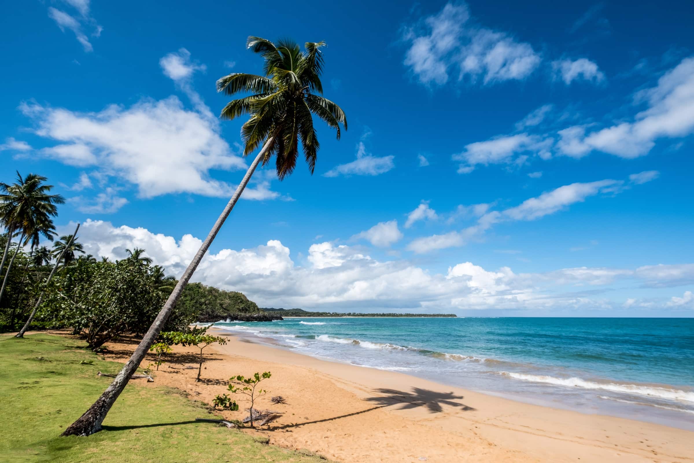
Hispaniola is part of the Greater Antilles archipelago in the turquoise waters of the Caribbean, of which it is the second largest (after Cuba). It is an island of many names: Hispaniola is the Spanish colonial name, Saint-Domingue is the French colonial name, and it is called Taino Amerindian by the original indigenous people. Interestingly, Hispaniola is also split by two different countries: most of the island is owned by the Dominican Republic and the rest by Haiti.
21. Hokkaido – 78.719 km2
Hokkaido, formerly known as Ezo, is the second largest island in Japan† It is one of the most popular regions during the Japanese summer and there are many reasons to go there. The island climate makes it a lot cooler than the mainland during the summer, and the six national parks and diverse wildlife make for an interesting trip outside the city.
Also read: Japan tour | A bit weird but nice
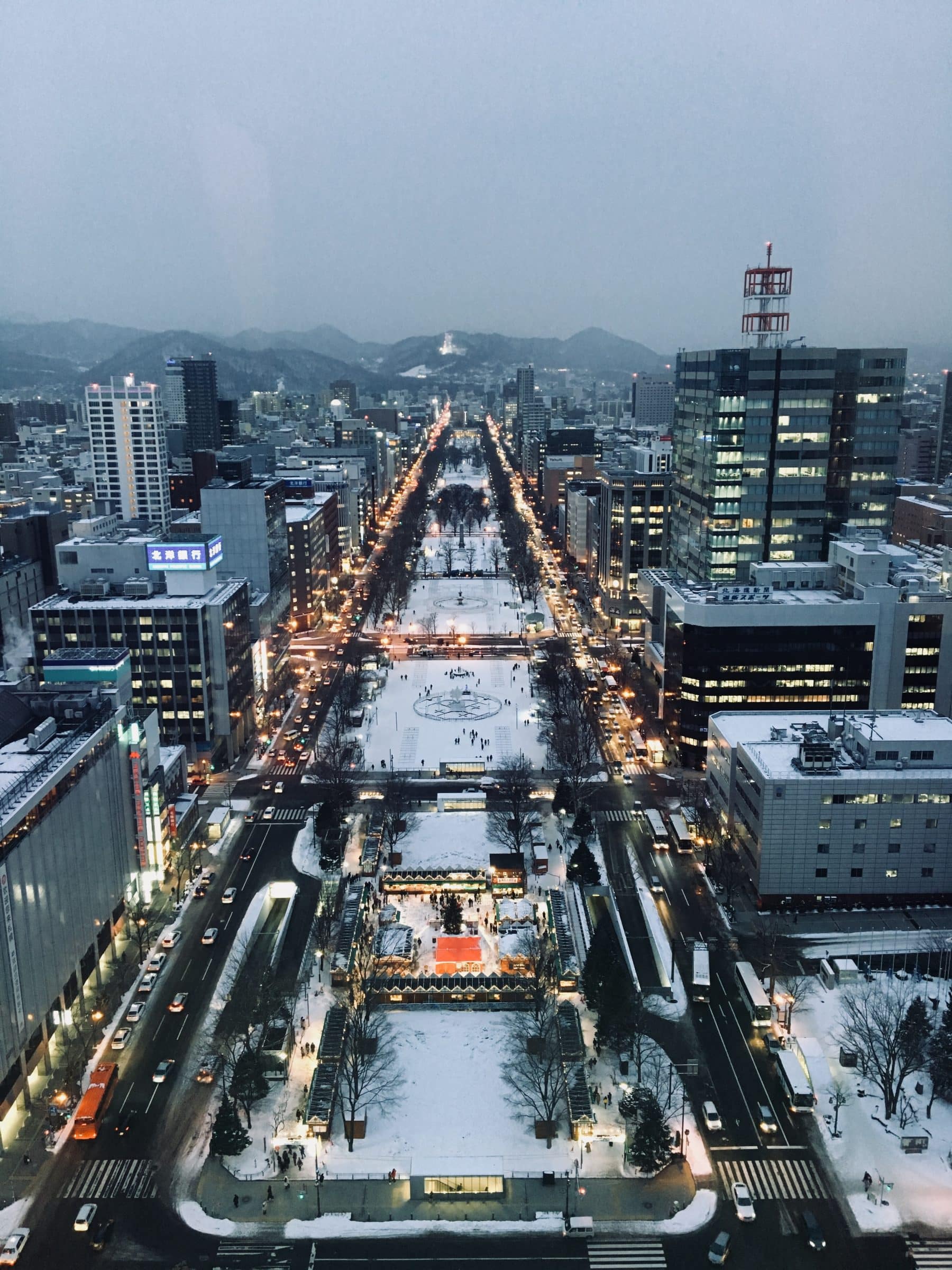
Hokkaido's largest city, Sapporo is also famous for the famous Japanese beer brewed here.
20. Ireland – 84.421 km2
The aptly named Ireland is the third largest island of Europe† Made up of about 80 different islands – only 20 of which are permanently inhabited – Ireland is something special. While Great Britain is in ninth place on this list, Ireland is not included – at least not geographically. Separated from the UK by the North Channel, Irish Sea and St. George's Channel, it is the second largest of the British Isles.
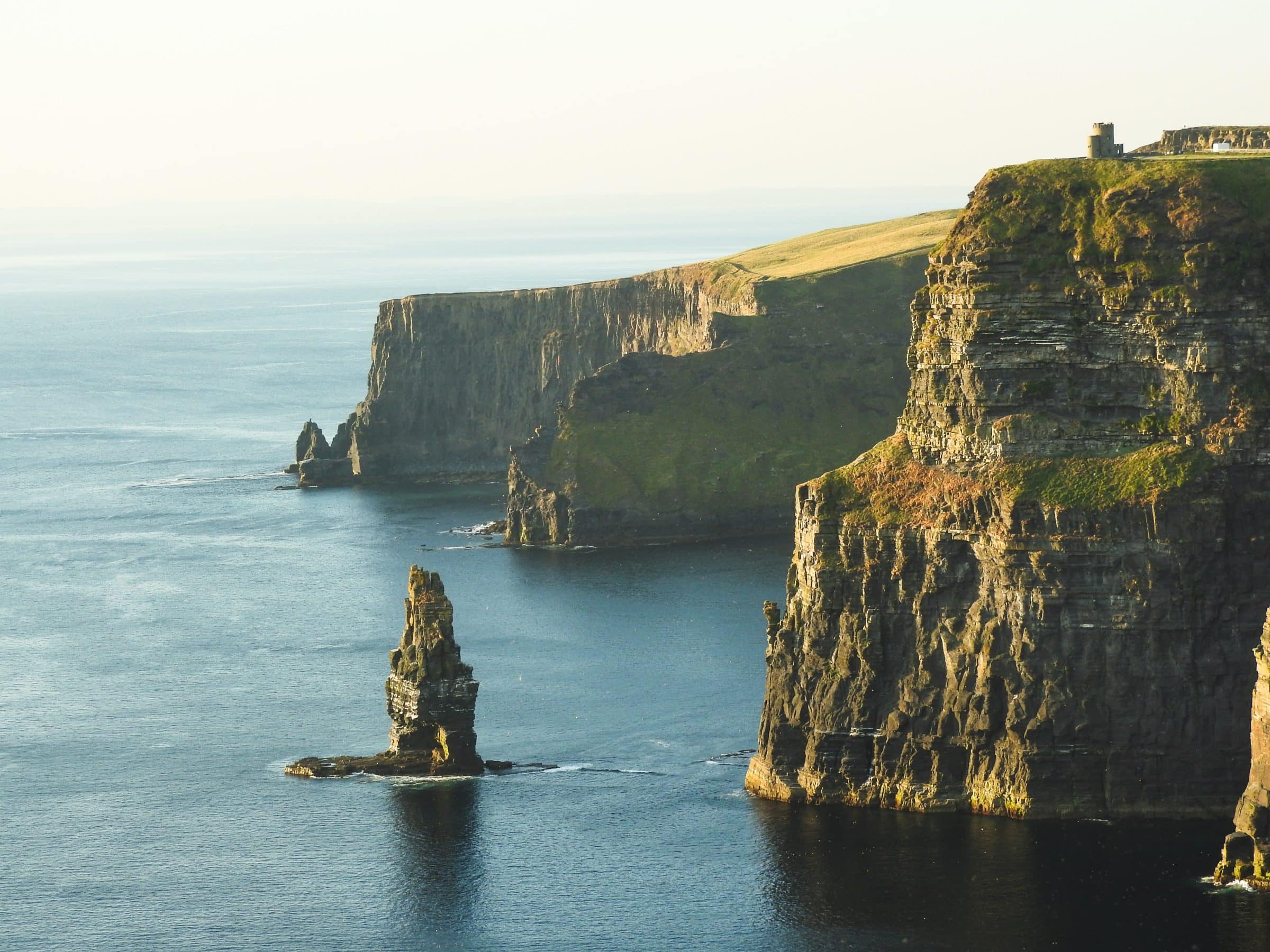
Ireland itself is politically split into the Republic of Ireland and Northern Ireland. The latter occupies only one sixth of the island's total landmass and is part of the United Kingdom. Disregarding these political differences, the island itself is, geographically speaking, more than 450 kilometers long.
19. Mindanao – 97.530 km2
Mindanao – also known as Southern Philippines – is the second largest island in the Philippines (after Luzon). Consisting of a main island of the same name and a collection of surrounding islands, the island is home to more than 20 million people.
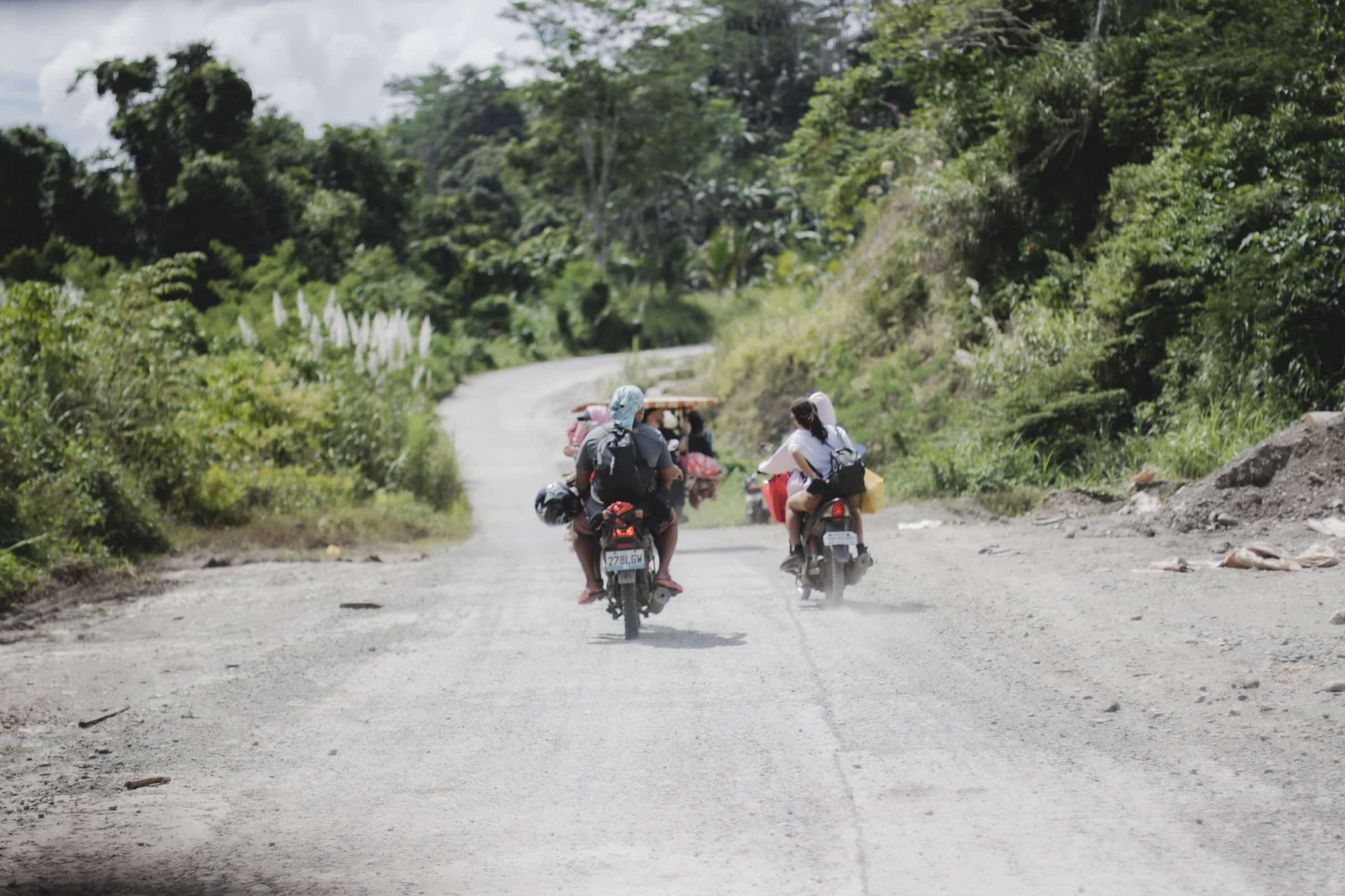
It is fondly referred to as the land of promise due to its rich biodiversity. There are glorious mountains, rivers, waterfalls, lakes and plains. It is also home to many still active volcanoes and is a popular adventure destination for hiking and bird watching.
18. Iceland – 101.826 km2
Iceland is the second largest island in Europe after Great Britain. But this popular tourist destination probably needs no introduction. With over 4.500 miles of dramatic and mountainous coastline, Iceland is only slightly smaller than the state of Kentucky.
Also read: Northern lights | Hotspots to Hunt for the Fascinating Aurora Borealis
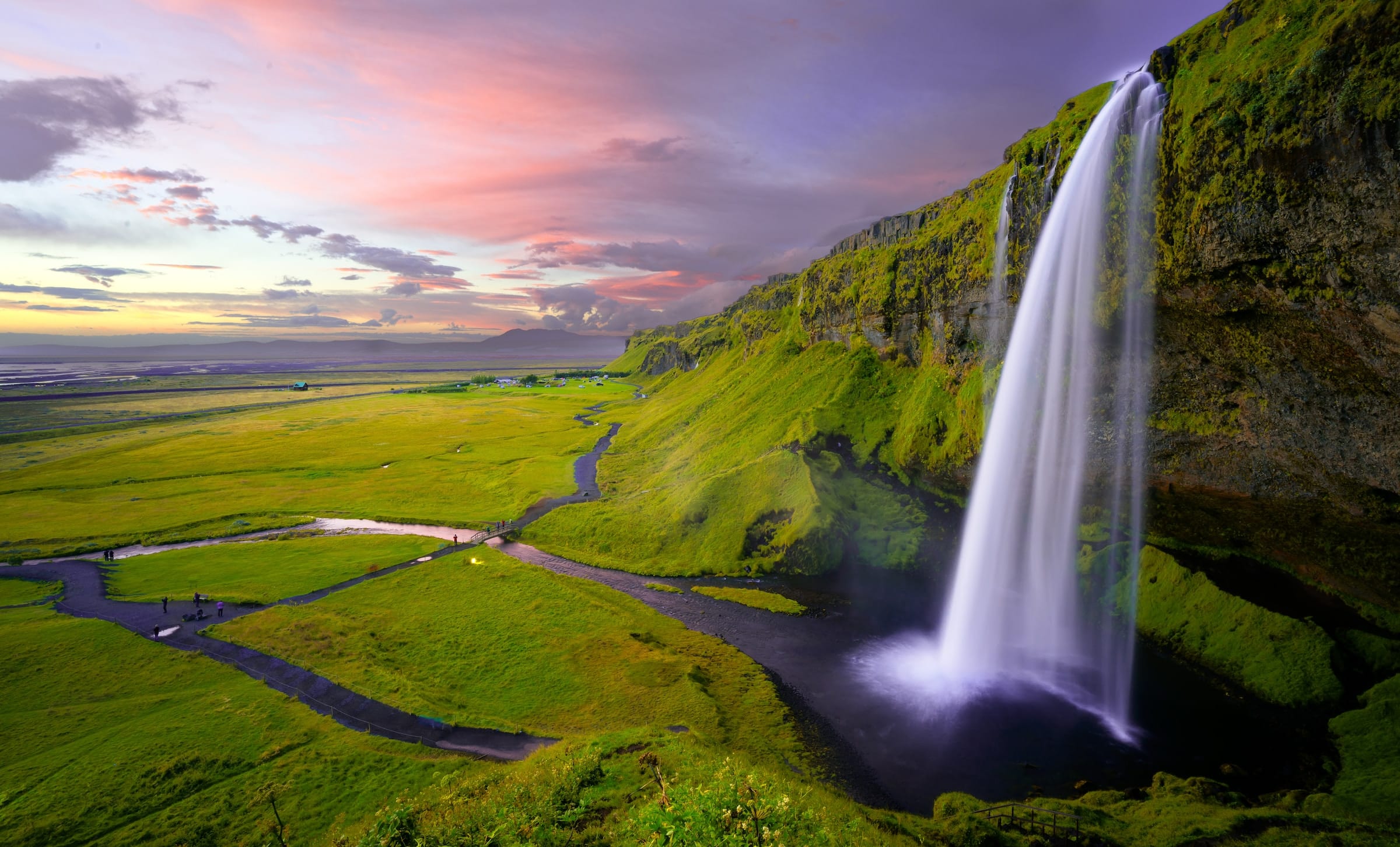
Despite its sheer size, Iceland is one of the most sparsely populated islands in the world. With a population of 360.000 there are only 6 people per square kilometer. Contrary to popular belief, only 10% of Iceland is covered by icy glaciers; the rest consists of lava fields, national parks and glorious hot springs.
17. Cuba – 105.806 km2
Cuba houses a collection of islands in the northern Caribbean Sea, where the Gulf of Mexico and the Atlantic Ocean meet. The largest island - the most important - is on this list.
Also read: Cuba tour | Must sees, colorful streets and beautiful nature
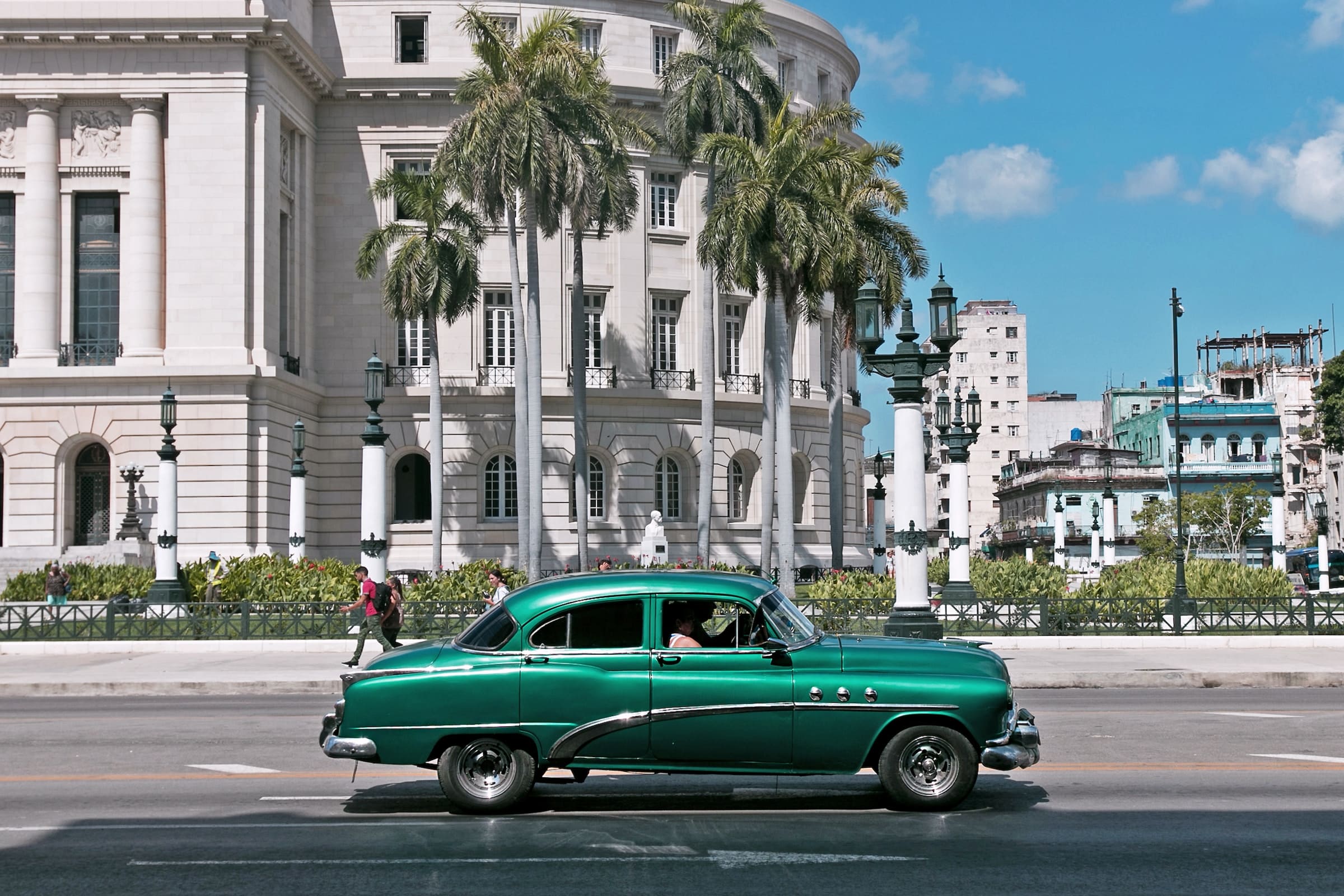
Spanning over 1200 miles in length, Cuba's main island boasts a pleasing mix of Spanish colonial architecture, beautiful beaches, and—of course—tobacco fields used to make the country's famous Cuban cigars.
16. Newfoundland – 108.860 km
Newfoundland, located off the east coast of Canada, is Canada's fourth largest island. As Canada's easternmost province, it is also the largest Canadian island outside the North and a popular place to see the Northern Lights.
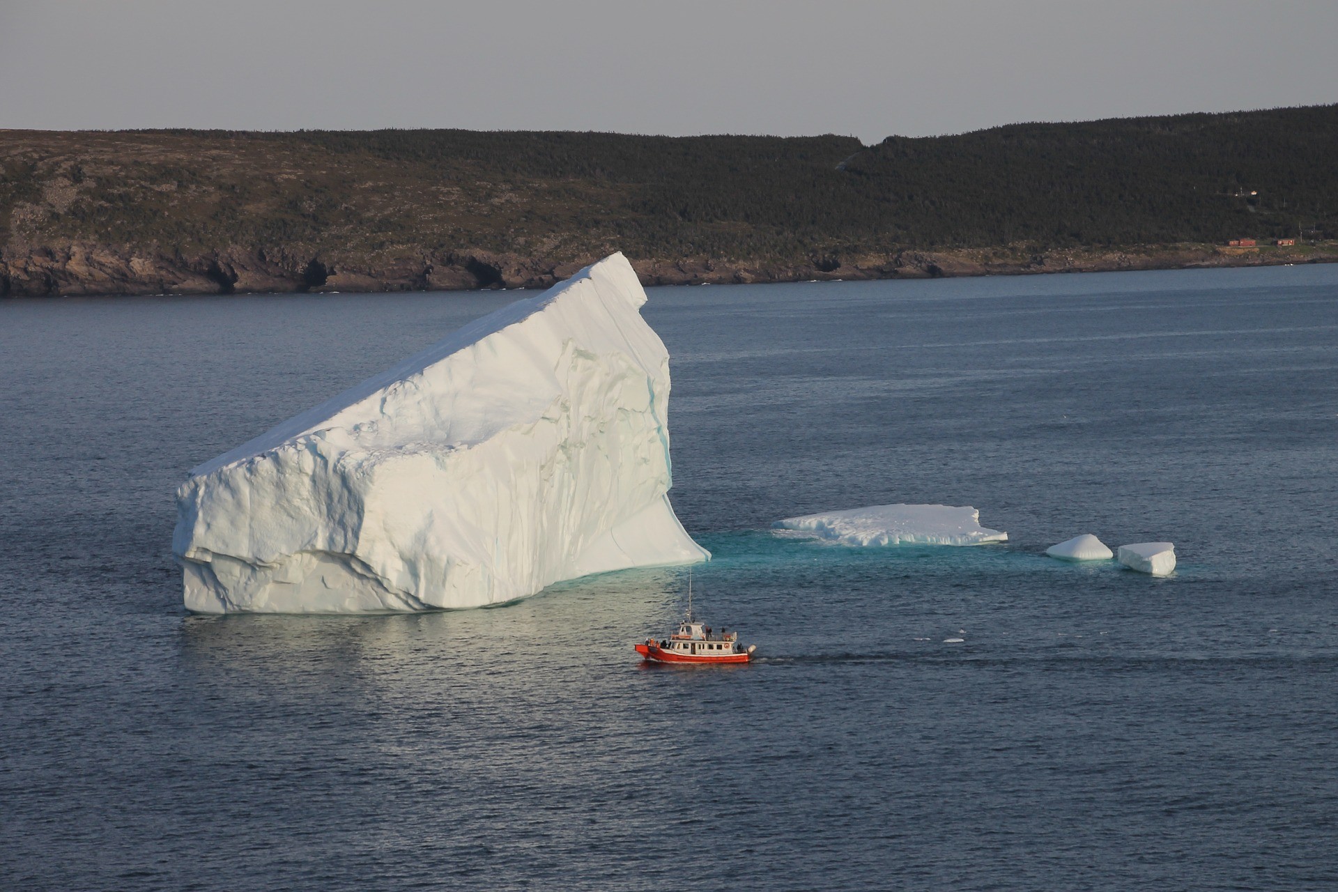
The Strait of Belle Isle divides the island province into two: Newfoundland and Labrador, the latter being part of mainland Canada. Newfoundland gets its name from King Henry VII of England who named the island “New Found Land” after its discovery by John Cabot in the 1490s.
15. Luzon – 109.965 km2
As an economic and political center, Luzon is the most populous island of the Philippines and one of the most populous islands in the world – home to more than half of the Philippine population. The capital Manila, as well as Quezon City, can be found on the island of Luzon.
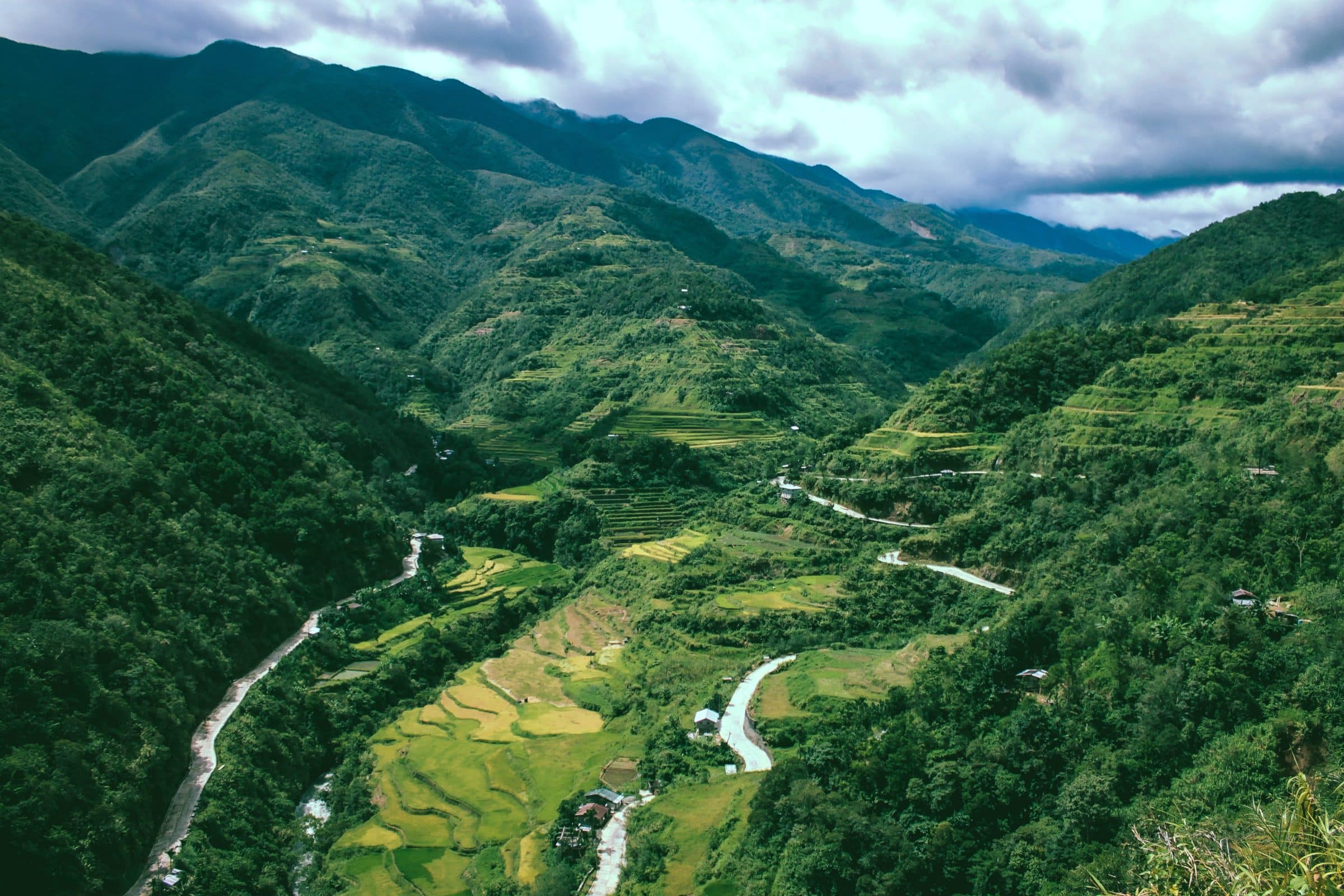
Located at the northernmost tip of the Philippine archipelago on the borders of the South China Sea, the Philippine Sea, and the Strait of Luzon, Luzon is known for its beautiful beaches, rolling mountains, dramatic volcanoes, and scenic rice paddies.
14. North Island – 111.583 km2
The glorious North Island of New Zealand – otherwise known as Te Ika-a-Maui – is separated from its larger southern counterpart by the Cook Strait and is a kaleidoscope of geothermal wonders, multicolored beaches and national parks.
Also read: The 10 Most Beautiful National Parks in New Zealand | Nature at its best
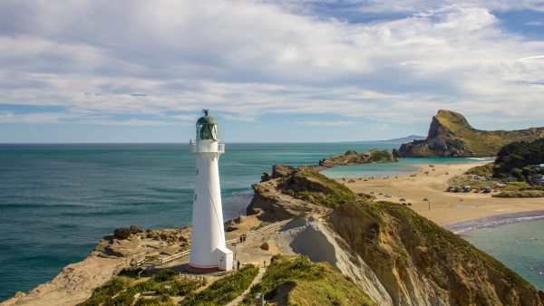
The North Island stretches 1600 kilometers at its longest and almost 500 kilometers at its widest point and is an interesting exploration. Both the capital Wellington and Auckland, known as the City of Sails, can be found on New Zealand's scenic North Island.
13. Java – 138.794 km2
Java is part of Indonesia and is a huge volcanic island. Despite being only the fourth largest island in Indonesia, it is home to more than half of the country's population and is the most populous island in the world.
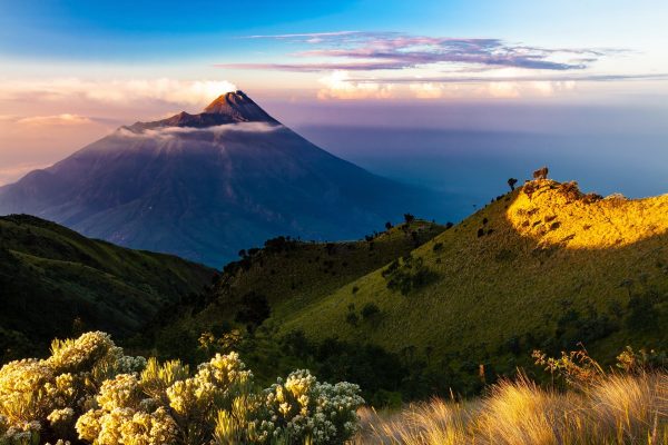
There are many reasons to visit Java, and it has become popular on the tourist radar in recent years. The island offers a mix of everything, with beautiful terrain ranging from active volcanoes to rolling tea plantations. It is also home to the famous Borobudur Temple and Ujong Kulon National Park.
12. South Island – 145.836 km2
The South Island of New Zealand – also known as Te Waipounamu – is the larger of the country's two main islands. Split by the Southern Alps, with Mount Cook as its highest point, it is also the ninth highest island in the world.
Also read: Tour through New Zealand | All the beauty of the world in one country
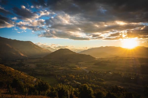
There is plenty to see on the South Island. Stretching for over 1200 miles, it is home to wineries, national parks and the fjords of the amazing Milford Sound. The beauty of the South Island lies in the slow pace of life and the modest nature.
11. Sulawesi – 180.681 km2
The mountainous and volcanic island of Sulawesi, once known as Celebes, is part of Indonesia† This unusually shaped island is home to no fewer than four characteristic peninsulas.
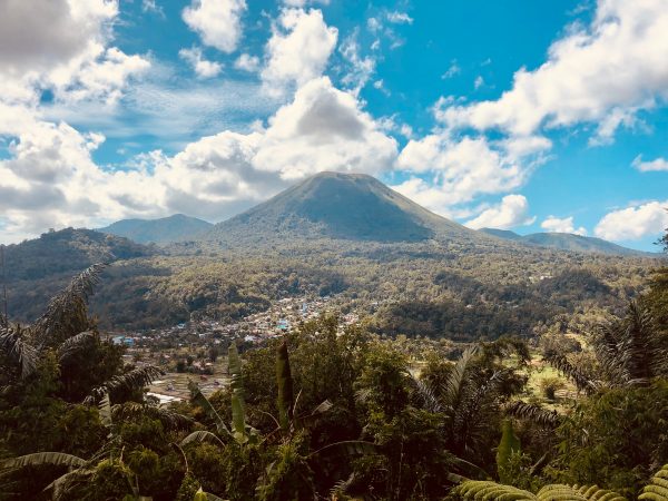
Hidden between the continents of Australia and Asia, Sulawesi is located on numerous seas, including the Celebes Sea, the Banda Sea, the Java Sea, the Flores Sea and the Moluccan Sea. Unsurprisingly, it is a popular diving destination with an abundance of underwater coral reefs to explore.
10. Ellesmere Island – 196.236 km2
Ellesmere Island is the third largest island of Canada† It is the largest of the Queen Elizabeth Islands in the province of Nunavut and is characterized by undulating mountains and spectacular ice fields.
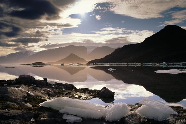
Nestled between Baffin Bay and the Arctic Ocean, the Canadian island of Ellesmere is full of history, home to geographic features dating back to the last ice age. These include a series of sedimentary rocks and the Ward Hunt Ice Shelf which is thousands of years old.
9. Great Britain – 209.331 km2
Great Britain, the largest of the British Isles, is an island located in the North Atlantic Ocean and separated from the European continent by the English Channel and the North Sea. It is the largest island in Europe – despite its dramatic and well-publicized exit from the European Union.
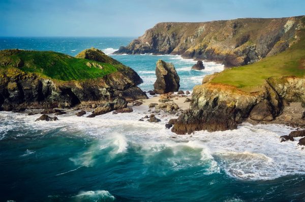
Combining the nations of England, Scotland and Wales, Great Britain is also part of the United Kingdom. London, the largest city, still attracts tourists from all over the world in search of their share of history and culture.
8. Victoria Island – 217.291 km2
With a length of more than 500 kilometers, Victoria Island is the second largest island in the Canadian Arctic Archipelago. Discovered by polar explorer Thomas Simpson in the early 1830s, the island was named after Queen Victoria.
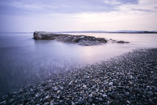
Despite being around for centuries, the island is still sparsely populated – little more than 2.000 people call the island their home. The most famous attraction on the island is the impact crater of Tunnunik, caused by the impact of a meteorite that landed here about 350 million years ago.
7. Honshu – 225.800 km2
Honshu is the largest of the four major islands of Japan† Despite being located between the Sea of Japan and the Pacific Ocean, it is actually considered part of the Japanese mainland. With a length of more than 1200 kilometers it is more than half the size of Japan!
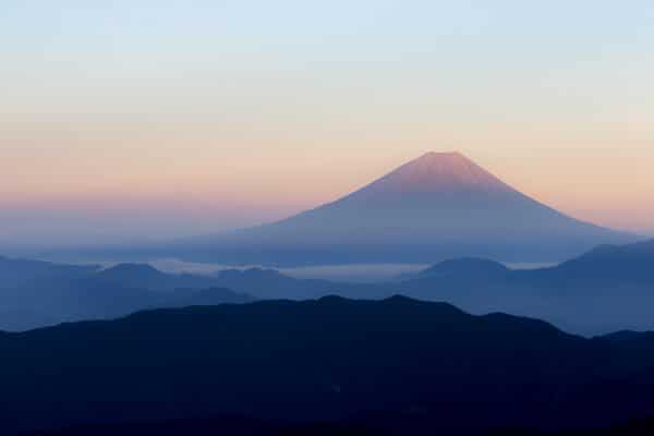
The island of Honshu is home to some of Japan's most iconic cities, such as Tokyo, Hiroshima, and Osaka. It is also home to Mount Fuji – Japan's highest peak – and Lake Biwa, the country's largest lake.
6. Sumatra – 443.065 km2
Sumatra is the sixth largest island in the world and the second largest island in Indonesia† Located in the Indo-Australian and Eurasian tectonic plates, it often experiences earthquakes and tsunamis.
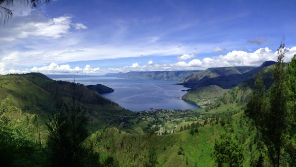
Surrounded by beautiful tropical rainforest, much of the island's appeal is its relatively untouched nature and wildlife. Some of the critically endangered species include the Sumatran tiger, the Sumatran orangutan, and the Sumatran rhinoceros.
5. Baffin Island – 507.451 km2
Baffin Island is the largest island of Canada† Despite the fantastic scenery of fjords, freshwater lakes and glacier-filled national parks, it is one of the most inhospitable islands on earth, with an average annual temperature of minus eight degrees Celsius.
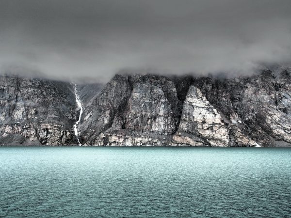
Named after British explorer William Baffin, the island is close to the Arctic Circle. For this reason, it is mainly visited for the great views of the Northern Lights, or to see a rare sight of the Arctic wolves, polar bears and lemmings that call the island home.
4. Madagascar – 587.041 km2
Madagascar is located on the east coast of Africa in the middle of the Indian Ocean. This island is celebrated for its amazing flora and fauna, home to about 250.000 animal species, including the famous striped lemurs. Interestingly, two-thirds of its wildlife is found nowhere else on Earth.
Also read: Round trip Madagascar | 6x must-sees for an unforgettable trip
Also read: 24 Must Sees in Africa | The most beautiful places for your bucket list
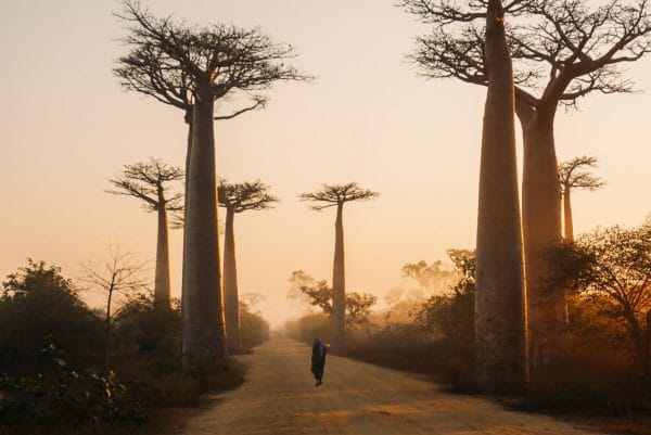
Dating back more than 100 million years, Madagascar is also home to the third largest coral system in the world, which offers excellent diving opportunities in the warm waters of the Indian Ocean.
3. Borneo – 748.168 km2
Borneo is a huge island that is almost twice the size of Germany. It is also the only island governed by a trio of countries – Brunei, Malaysia en Indonesia, but most of the island is Indonesian territory.
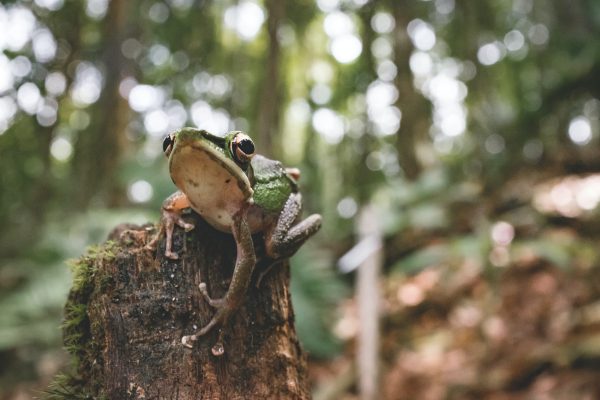
Borneo is home to the oldest rainforest on Earth, dating back over 100 million years. The lush green foliage is home to some fascinating wildlife, such as the Bornean orangutan and Dayak fruit bats – two endangered species found nowhere else on Earth.
2. New Guinea – 785.753 km2
New Guinea is a huge island with a length of more than 1500 kilometers. Like Borneo, it is run by more than one country: Indonesia and Papua New Guinea rule here. With its first human inhabitants settling on the island over 40.000 years ago, it has been sought after for centuries for its vast reserves of copper and gold.
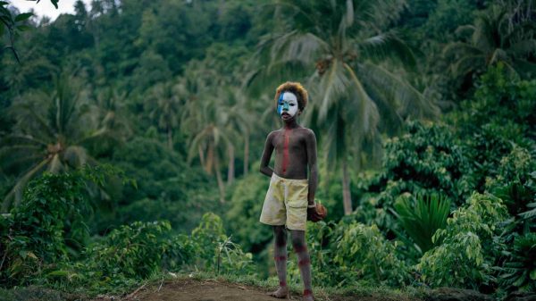
The island of New Guinea is separated from Australia by the Torres Strait, with the Coral Sea on one side and the Arafura Sea on the other. Interestingly, New Guinea is also the largest island in both the Southern Hemisphere and Oceania.
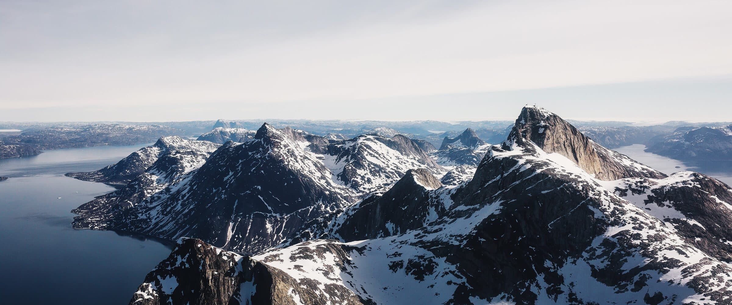
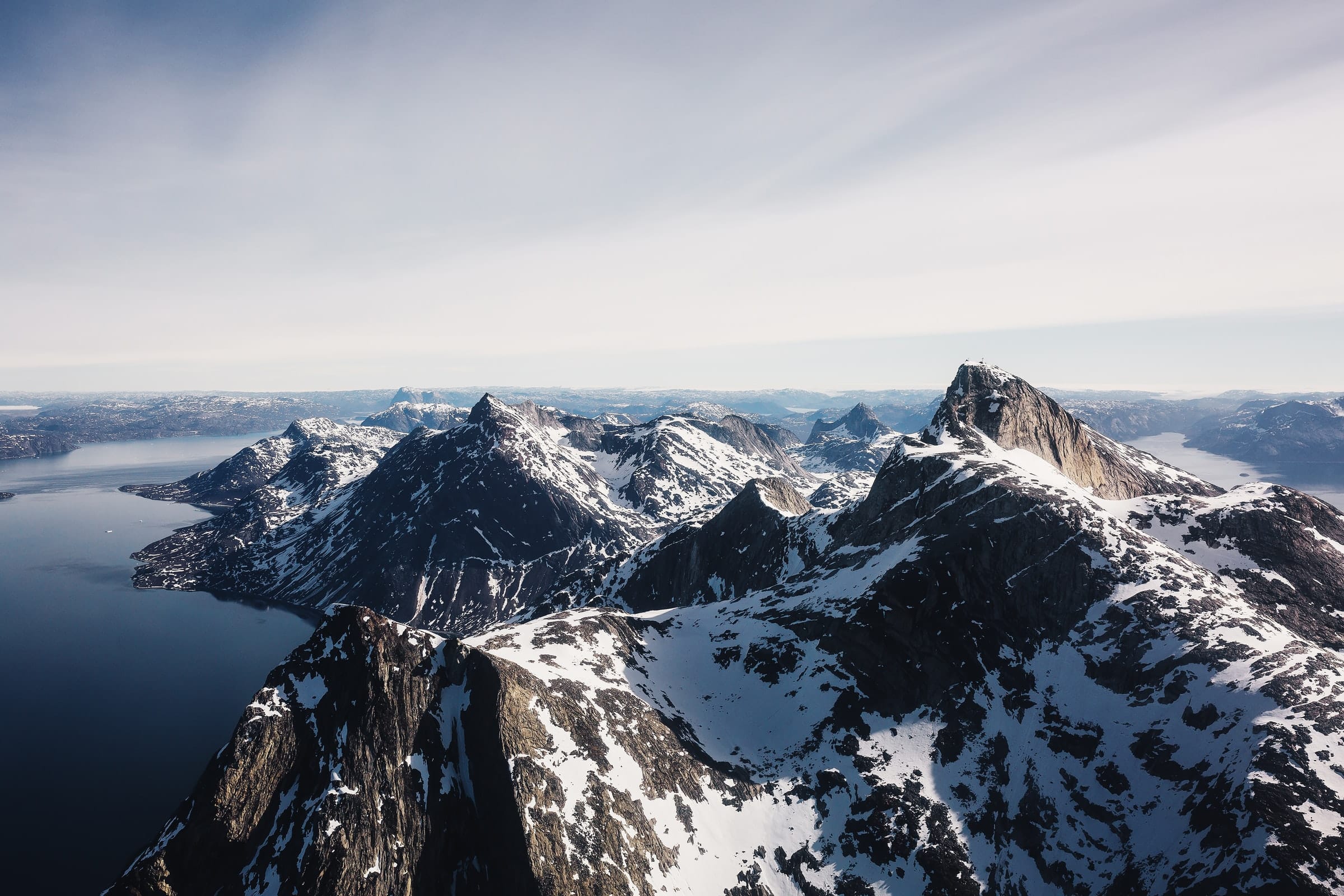
1. Greenland – 2.130.800 km2
Greenland is the largest island in the world and probably lacks continental status only because of the size of its population. Located between the North Atlantic Ocean and the Arctic Ocean, it is an independent territory of Denmark and despite its size it is largely uninhabited.
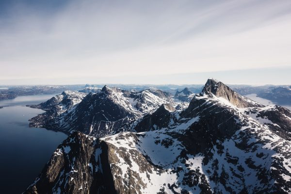
Home to just over 50.000 people, most of the terrain is made up of inhospitable glaciers — the largest outside the Arctic — and the second-largest ice sheets in the world. There are no roads connecting the island's main towns, and the Greenlandic population depends on fishing, seal hunting and whaling for survival. Many people visit Greenland to explore Northeast Greenland National Park, the world's largest national park.


